Blue Ridge Area Map & Driving Directions
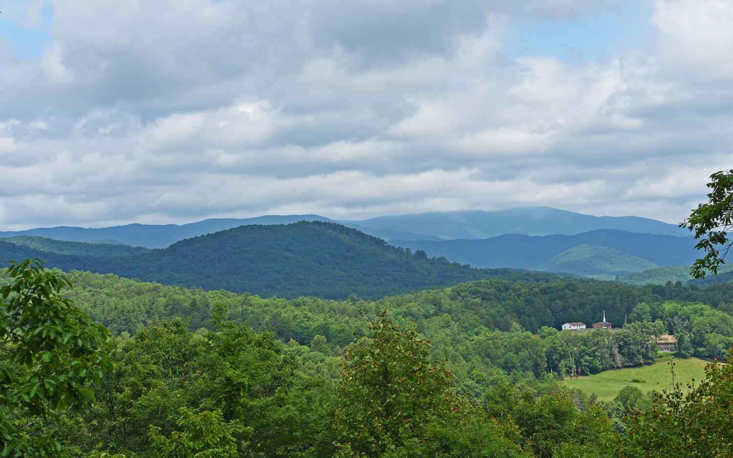
Blue Ridge is a cozy mountain town only 90 miles north of Atlanta. Although close in proximity to the 'real world' you'll feel miles and miles away from it all.
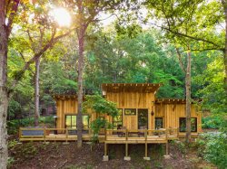
Located in the Chattahoochee National Forest Blue Ridge is a perfect place to visit to enjoy various outdoor activities such as hiking, fishing, and rafting to name a few but also to escape in a cozy cabin and catch up on that reading list! Georgia Mountain Cabins has many properties throughout the area that are sure to meet all your needs.
Please contact us today to book your next Blue Ridge cabin rental!
Getting to Blue Ridge
Traveling to Blue Ridge is fairly easy however can pose some issue during winter. Be sure to travel prepared for snowy/icy conditions during the winter.
Driving Directions to the Georgia Mountain Cabin Rentals Office
Address: 3608 East First Street, Suite 101, Blue Ridge, GA 30513
- Take I-75 N to I-575 N
- Go approx. 72 miles through Jasper, then Ellijay
- The next town is Blue Ridge
- At the second red light (Burger King) turn right
- Go straight through next red light onto Mountain Street.
- Go across the train tracks to the next red light at top of the hill.
- Turn left on East First St.
- Go 0.1 of a mile to the office on right (Across from Fosters Produce)
- Take I-75 N towards Cleveland
- Take exit number 20 bear to the right
- Go for 5 or 6 miles to Hwy 64 bypass towards the Ocoee River
- This will bring you into Ducktown, TN
- When in Ducktown take Hwy 68 S towards Copperhill, TN
- When in Copperhill go to the three-way stop sign (IGA Foods on left)
- Turn right this is GA Hwy 5
- Go about 11 miles to red light (McDonald's on left)
- Go straight through the red light
- Just past BP gas station is the first red light, this is Mountain Street take this left
- Go across the train tracks to the next red light
- Turn left on East First St.
- Go 0.1 of a mile to the office on right (Across from Fosters Produce)
- Take I-26 West to I-40 E towards Maggie Valley/Canton, NC
- Come West just past Sylva, NC is Hwy 64 W
- Take Hwy 64 West towards Franklin, NC
- Go through Franklin to Hayesville, NC
- When in Hayesville the second red light is Hwy 69 take this left towards Hiawassee, GA
- About 10 miles at the red light in Hiawassee turn right on Hwy 76 West towards Blairsville, GA
- Go through Blairsville, about 17 miles to Blue Ridge
- When in Blue Ridge, at the fourth red light (McDonald's on right) turn left
- Just past BP gas station is first red light, this is Mountain Street take this left
- Go across the train tracks to the next red light at top of the hill.
- Turn left on East First St.
- Go 0.1 of a mile to the office on right (Across from Fosters Produce)
View Larger Map